Here are some web resources that we use most frequently while we storm chase. We typically look over all model data in the days leading up to a severe weather event, and then re-evaluate the models on the morning of a chase. Once storms fire, we continuously monitor Realtime Data, the SPC, and the HRRR.
National Weather Service

- Storm Prediction Center – The SPC is responsible for issuing severe weather outlooks, mesoscale discussions, and watches.
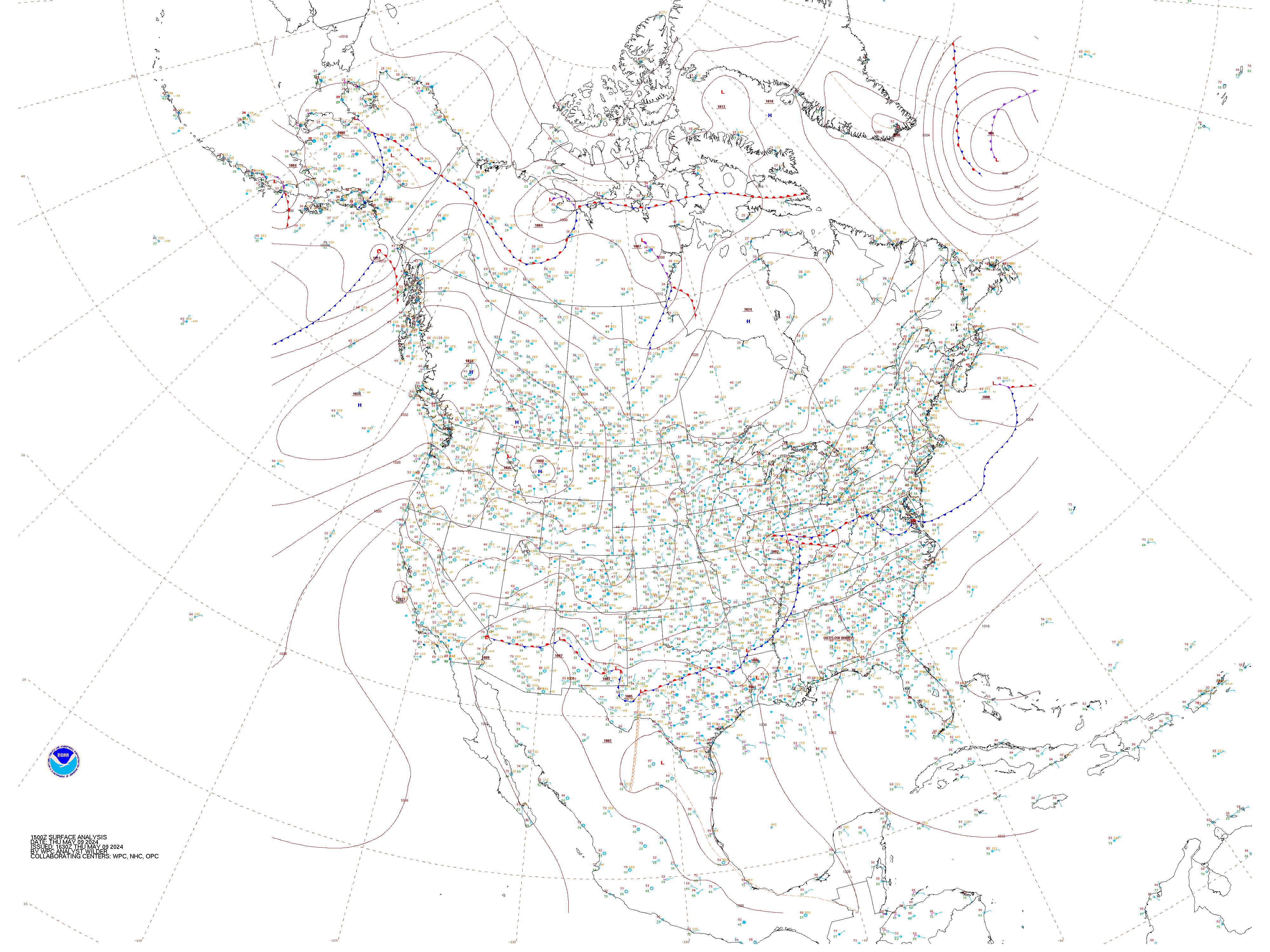
- North American Surface Analysis – A human-analyzed map of surface weather features across North America.
- Southern Region Headquarters – Contains links to local Weather Forecast Offices.
Realtime Data
- Satellite and Radar (College of DuPage) – Hint: 1km Visible Satellite is best for chasing. Always use individual radar sites over regional mosaics.
- CONUS Radar Mosaic – CONtinental US radar overview. Good for a quick glance, but not for detailed analysis.
- Surface Observations
- Oklahoma Mesonet Surface Observations
Programs
- Radarscope – Low-cost super-resolution radar solution for Mac, iPhone, and Android. This is a must-have for any chaser.
- GR2Analyst – I strongly recommend this product for serious chasers. When configured properly, GR2AE provides the most timely radar updates, and is the most versatile analysis tool. We strictly prefer Level-2 super-resolution data. Requires Windows XP or higher.
- GRLevel3 – Low-resolution Level-3 data (however velocity data is close to super-resolution). We use it most frequently for its VWP plots. Requires Windows XP or higher.
- SHARPpy – Useful for displaying observed and modeled sounding data. Works on Mac, Linux, and PC.
- GpsGate – Allows an external GPS to be shared across multiple programs in Windows.
- DeLorme Street Atlas – Don’t rely on Google for maps. You can track your location with this application, and will always have maps. We also recommend paper maps!
- Spotter Network – Report the severe weather that you observe!
Numerical Weather Prediction Models:
- Very short-range
- HRRR Operational (ESRL) – 2.5km Resolution, 15hr forecast, updates hourly.
- SPC HRRR Maps – updates in near real time.
- HRRRX Experimental (ESRL) – 3km Resolution, 24hr forecast, updates hourly but is sometimes delayed.
- NSSL WRF – 4km Resolution, 24hr forecast, initialized twice per day at 00z and 12z. Usually available around 07z.
- 4km WRF – 4km Resolution, 36hr forecast, initialized twice per day, at 00z and 12z.
- RAP (ESRL) – 13km Resolution, 27hr forecast, updates hourly.
- SSEO – SPC’s ensemble some of the above models. 24-36hr forecast, updates 1-2 times per day.
- NCAR Ensemble -48-hour 10-member ensemble of high-resolution models. 48 hour forecast, updates once per day (00z), around 3am CDT.
- HRRR Operational (ESRL) – 2.5km Resolution, 15hr forecast, updates hourly.
- Short-range
- Non-government model graphic websites: these are run by individuals, organizations, and educational institutions. You can find some of the above models as well as medium and long range models here.
- College of DuPage – SHARPpy soundings, ultra long-range CFS maps… get that hypetrain chugging early.
- Tropical Tidbits – Lots of international models. NAM 4, 12, and 36km maps. Worldwide regions.
- Pivotal Weather – Point and click SHARPpy soundings, and a unique variety of numerical models.
- Twisterdata – Tried and true, reliable, nice graphics.
- Earl’s Models – Basic page with model graphics that you won’t find anywhere else.
- Wunderground ECMWF Maps – The only source for free full-resolution ECMWF (European Model) maps. Color tables are… pathetic.
For Post-Event Analysis
- NCDC Radar Archive – Look back at any weather event through the mid-1990s.
- Iowa State Radar Archive – If you’re looking back at an event that occurred in the past 3 days, you can get your Level 2 radar data here.
- SPC Mesoanalysis Archive – Looking for full-resolution SPC mesoscale analysis data from a past event? SPC might have it archived here.
- University of Wyoming Soundings – Look up soundings from past events worldwide. The text files can be conformed to be used with SHARPpy.
International Links
- European Radar Mosaic – Unfortunately raw European radar data is not publicly accessible, this is as good as it gets.
- French WRF-NMM
- Italian WRF-ARW
- Keraunos WRF-NMM for India and Bangladesh.
- European Satellite Imagery
- Bangladesh Chasing Links – Will you be the first chaser to brave over 9000 CAPE and score a tornado in Bangladesh? Try to 3X your way to a cheap flight using ITA Matrix. You might even find some tips on FlyerTalk. Upgraded Points has a nice tutorial on how to use the Matrix.
Other Interesting Links

- CIMSS Tropical Cyclones – Worldwide data for tropical cyclones.
- Cyclone Phase Diagrams – Cool but very technical diagrams from FSU showing the evolution of cyclones.
- MODIS Today – 250m resolution full-color satellite images of the CONUS taken twice daily by the Terra and Aqua POES (polar orbiting) satellites.
- Worldwide MODIS Images – You can get MODIS images from around the world here, but they are not post-processed as well as in the link above.
- FNMOC Tropical Cyclones – The Navy’s tropical cyclone page. Excuse the certificate error.
- Scatterometer Data – See wind vectors over the ocean.